
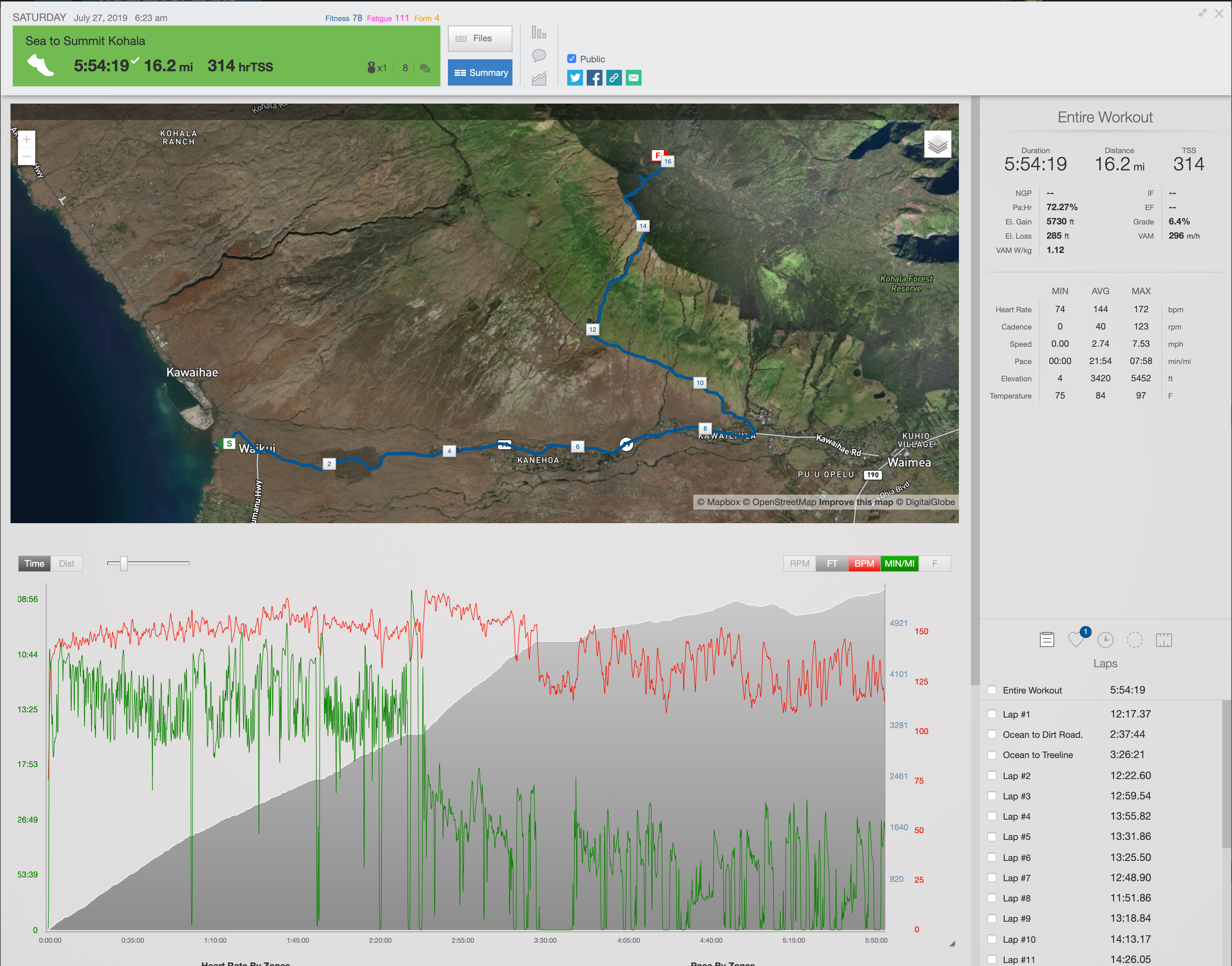
The Sea to Summit of Kohala was one of the most enjoyable runs I have done on the Big Island. On May 27th, 2019 it took 5:54:19 to cover the 16.2 miles and 5,730 feet of elevation gain needed to reach the summit from Spencer Beach. The run really separates itself from the other volcanoes since the slowest and most complicated part is route finding through a dense rain forest to reach its summit. Below I’ll outline the preparation needed to do this route, the actual adventure itself, and my final thoughts.
The Preparation
The nice thing about this run was that I didn’t need to worry about having the fitness so much as I needed to know when I felt recovered enough from running from the Sea to the Summit of Mauna Loa. Since running Mauna Loa was so taxing I figured I would need around 3 weeks recovery which as it turns out was just about the perfect amount of time. Three days before the actual run I went for a hike into the upper forest of Kohala to find the most direct route to the summit. This was actually tricky and I spent a few hours searching and bushwacking through the dense forest of mud and pig trails looking for the best line. Ultimately I was able to trace a repeatable path almost directly from the fence to the summit.
For this particular run, I didn’t feel I needed to run the lower section since I figured 12 miles of pavement and 3,100 feet of elevation gain should be an easy 2.5-3 hour jog. So I rounded up my buddies Al Police and Toby Olney and planned for a Saturday morning sunrise(ish) start.
From Ocean to Dirt Road
I met Al down at Spencer Beach Park around 6:05 am just after the park gate opened. We discussed some basic logistics of how often I would grab some water, and then headed to the beach to touch the water and get my summit ocean offering. It was a perfect morning with almost no wind and a clear sunrise glowing against Hualalai Volcano down the coast. At 6:20 I pressed my Garmin watch and started across the sand, heading up and out of the park.
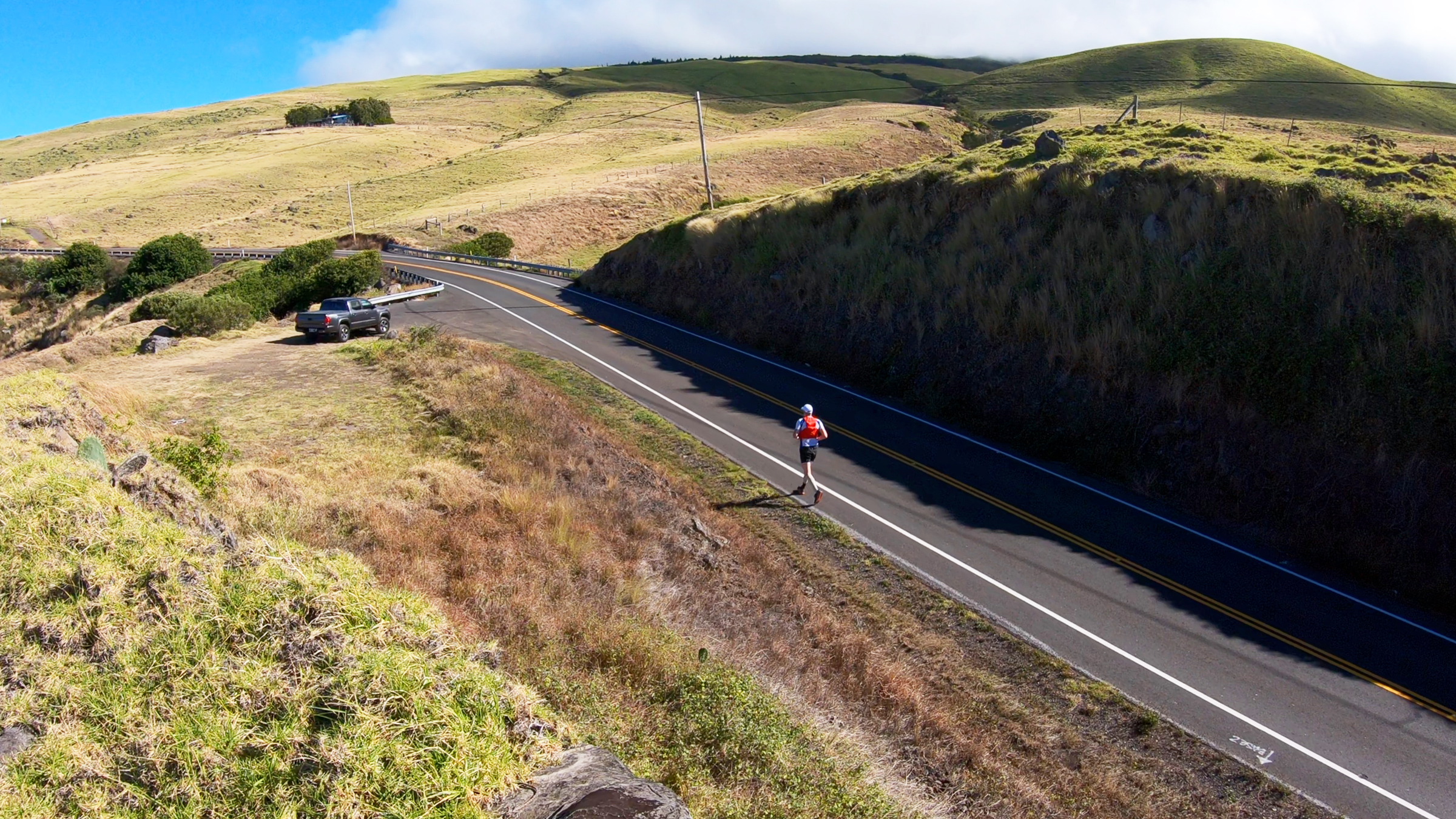
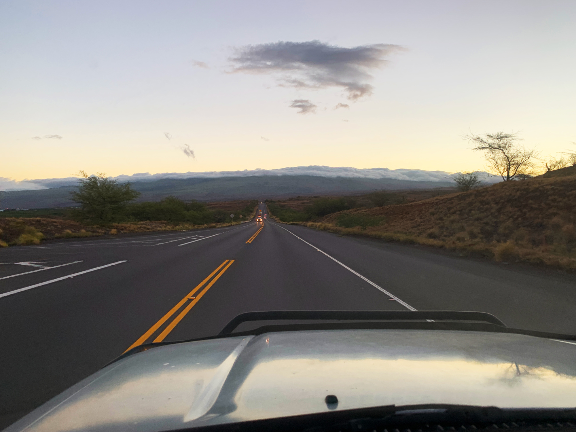
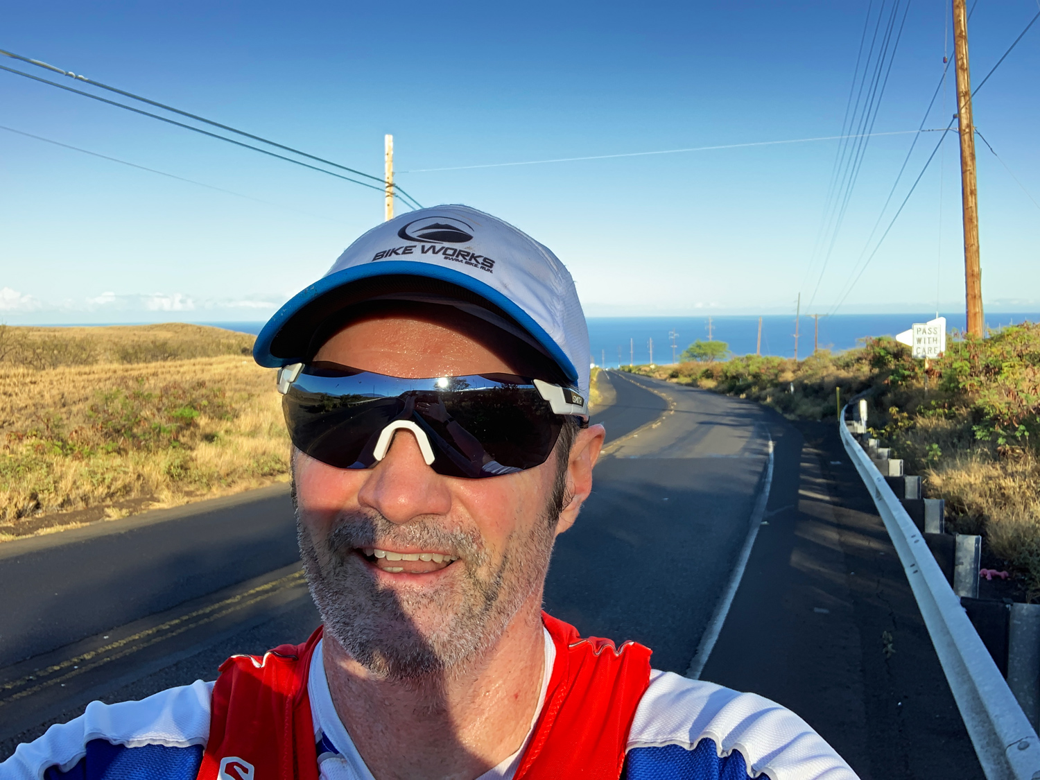
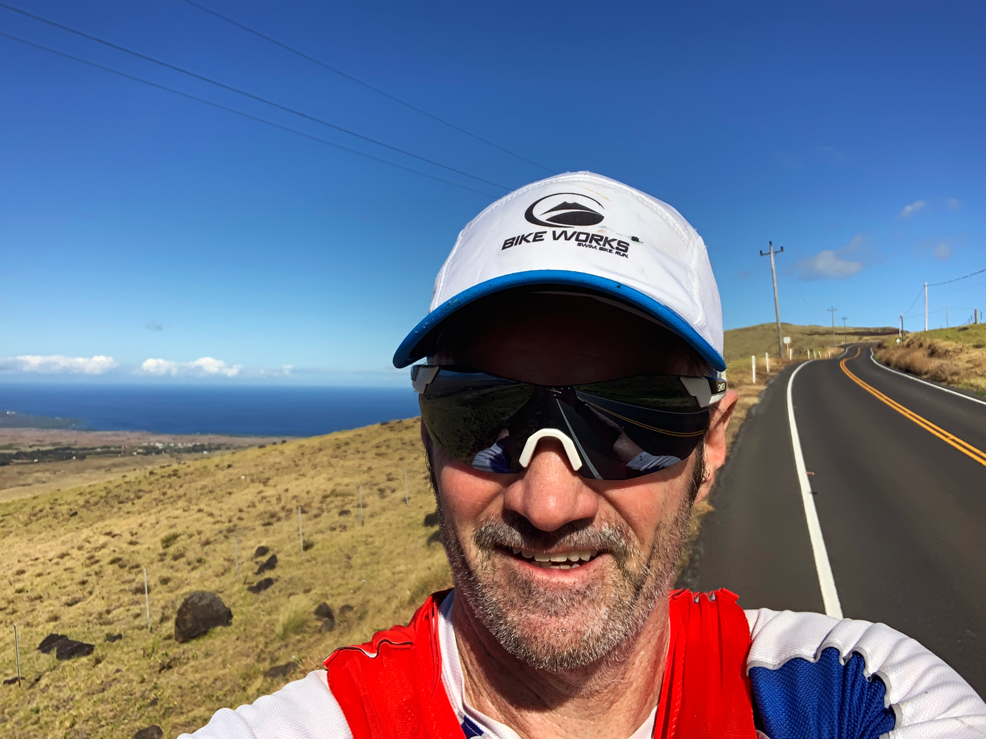
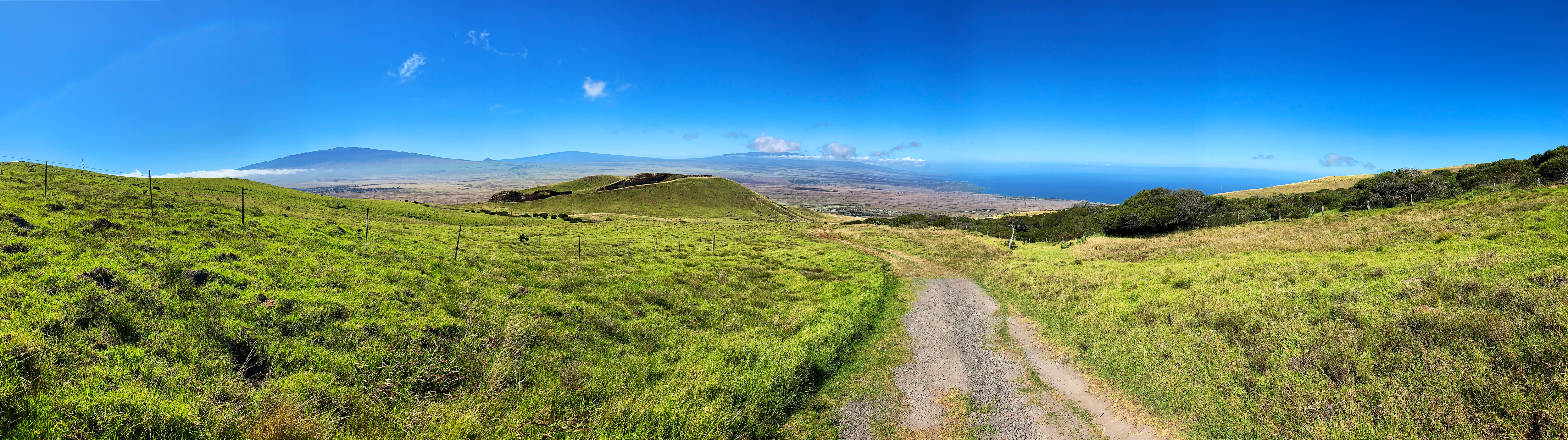
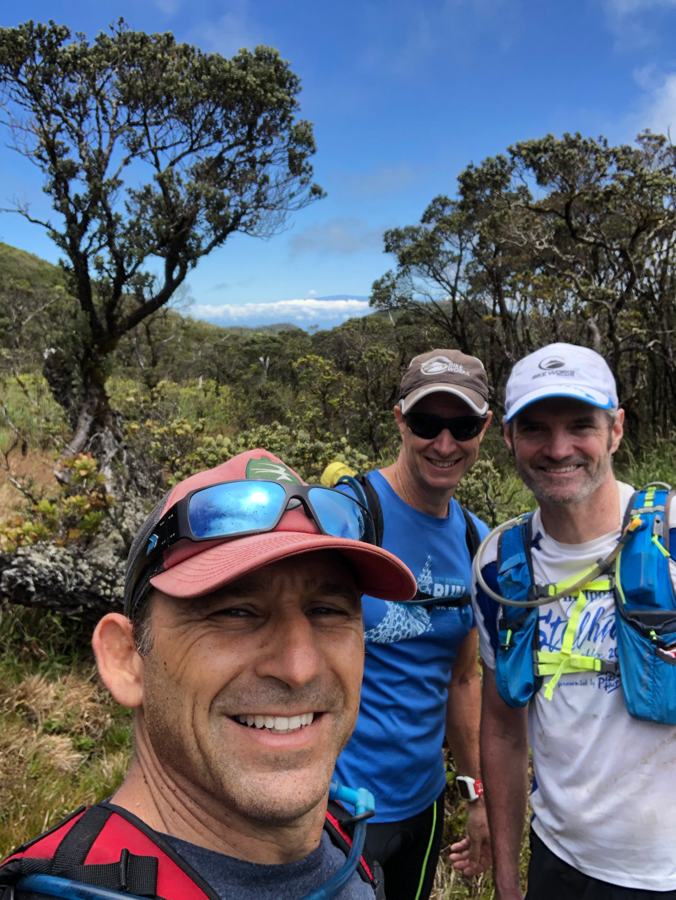
It is a pretty steep start climbing out of the park and up Kawaihae Road, and it never really relents under a 6% grade. It’s runnable but there was a bit of walking to keep my heart rate from getting out of hand. I figured 150bpm (beats per minute) was a good effort and I would hold that for the next 2.5 hours to the dirt road. About 10 minutes into the run the sun had fully risen and was directly in my face. There was no wind and I realized this was going to be quite the hot run until the wind would eventually pick up. Every hour I would head over to Al’s truck and grab another flask of water but besides that, we kept the interactions to a minimal. I turn up Kohala Mountain Road and pass my old alma mater, Hawaii Preparatory Academy. Al has us take a quick photo since we both went to High School there. I grabbed my last water and headed up the winding Kohala Mountain Road another few miles until I meet with Al and Toby at the base of the steepest section of this route.
From Dirt Road to Fence Crossing
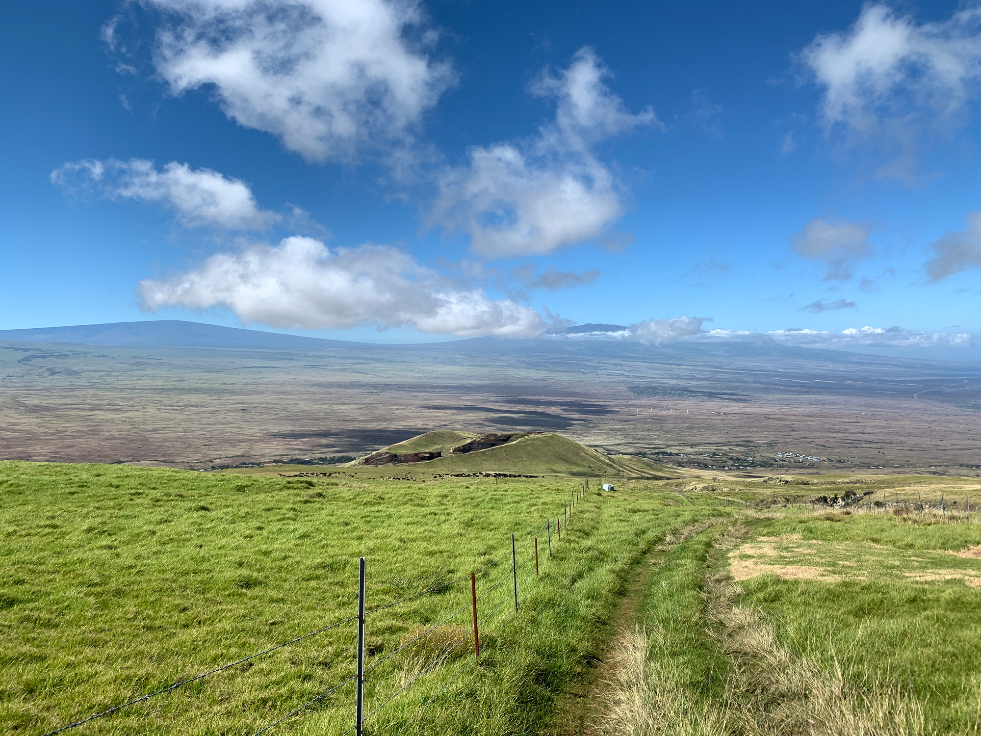
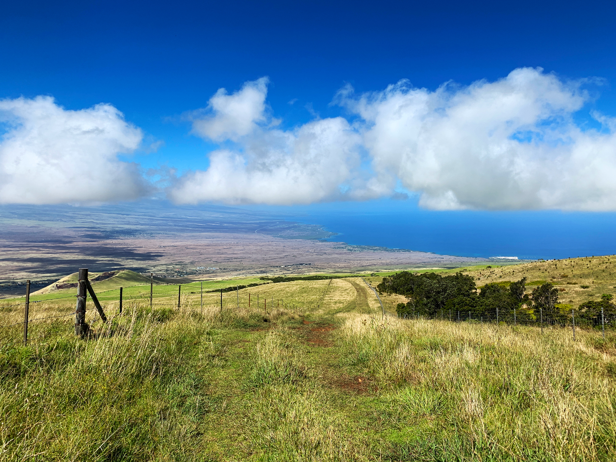
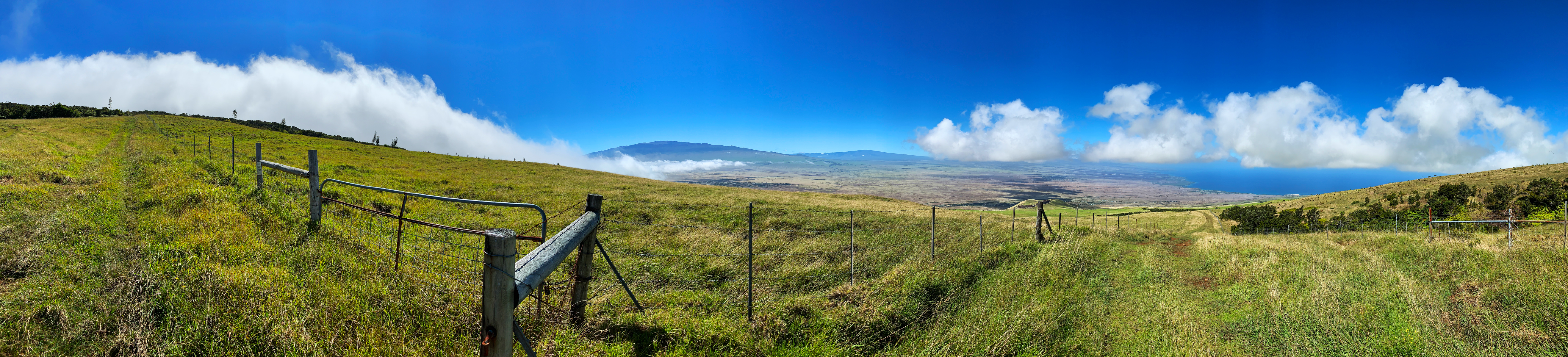
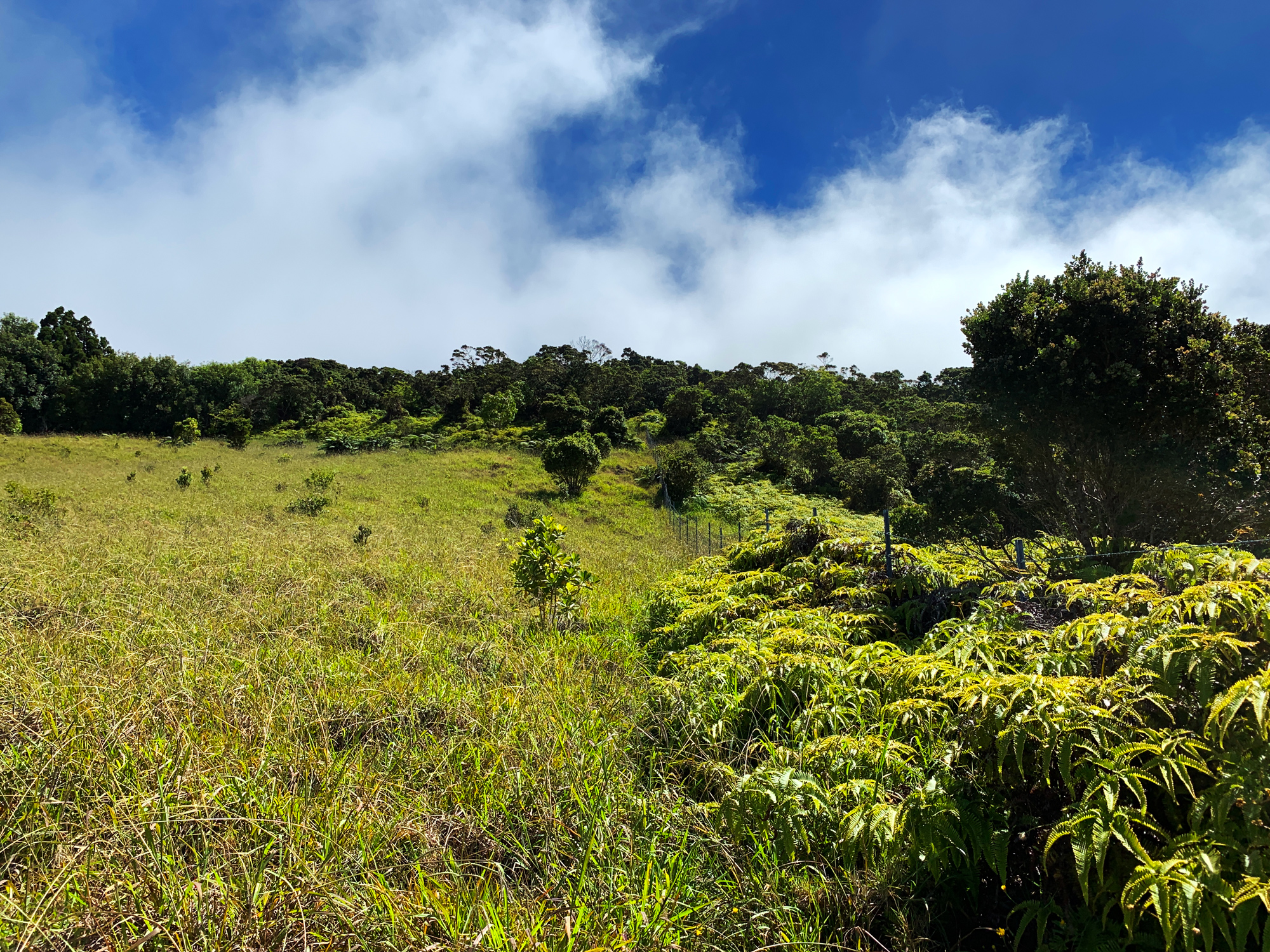
The next 1.7 miles are brutally steep averaging a 16% grade with sections over 20%. I wanted to run but I’m happy to hike this section with Al at 27 minutes/mile – more than doubling my average pace up to this point. Toby takes over mobile aid station duties and 4-wheel drives up the steep pasture road until we reach the final fence and the forest above.
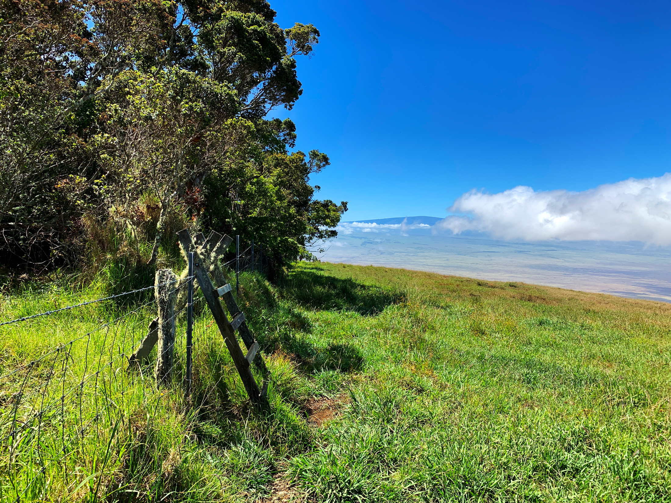
In no big hurry, we took 20 minutes and gathered our gear, load our packs, lock the truck and then head along the fence for 8/10ths of a mile. The travel became even slower, pushing through deep grass on steep hills and a half a dozen small gorges densely packed in vegetation. We finally reach the stile (a small staircase over a fence) 40 minutes later.
Enter Forest to Summit
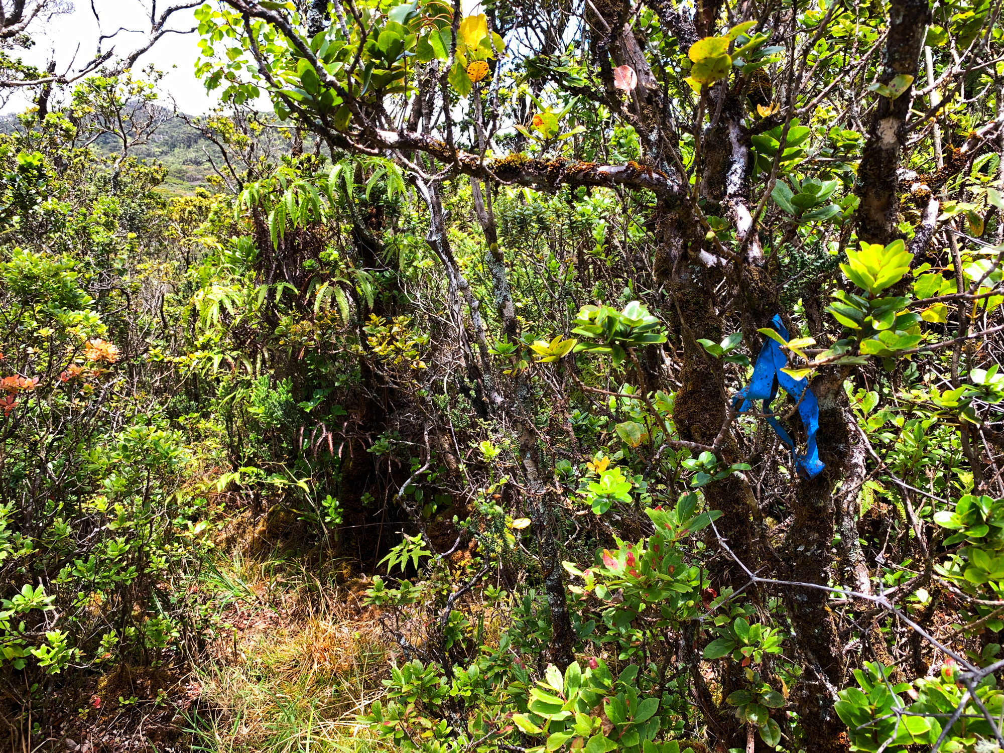
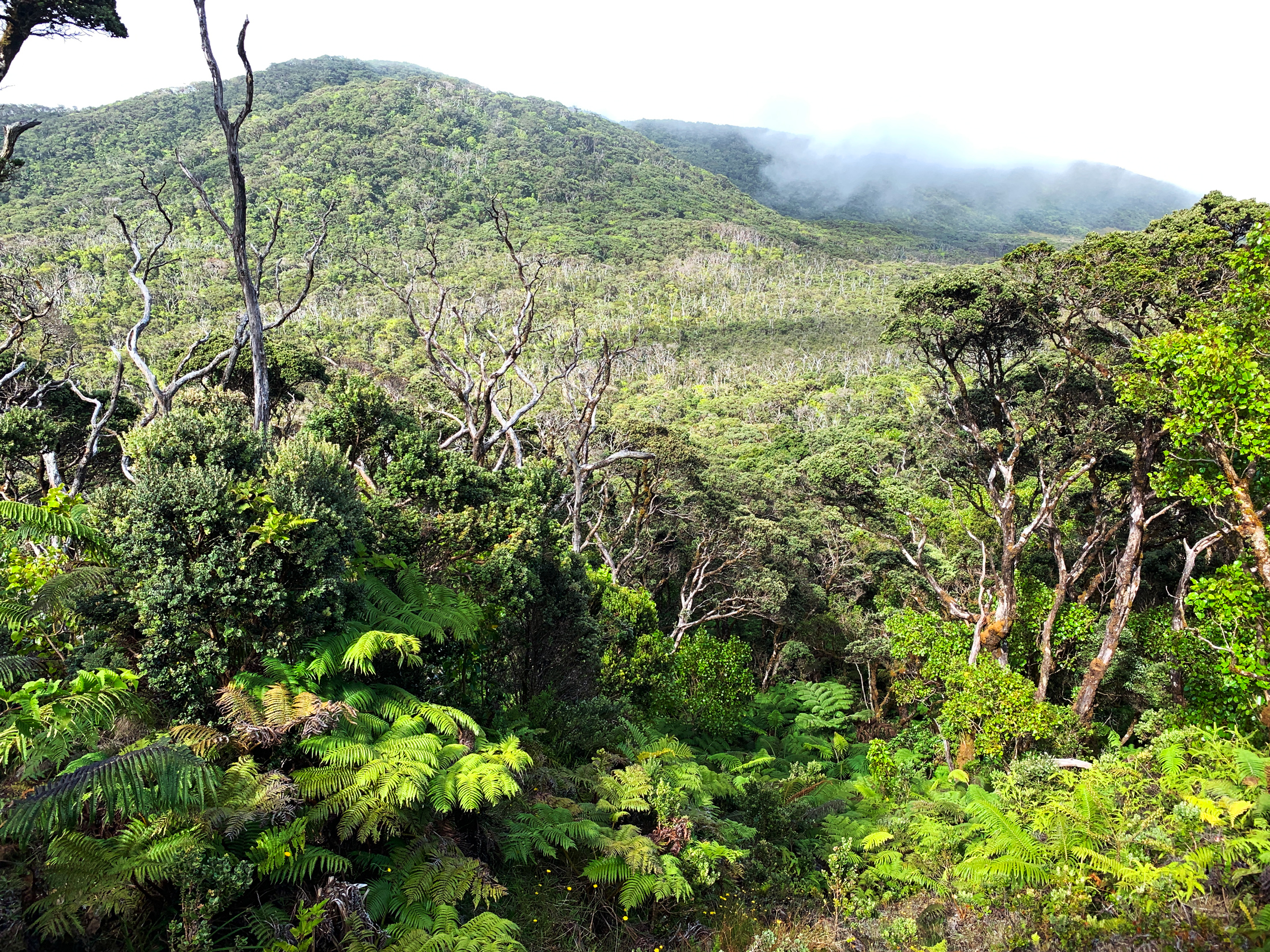
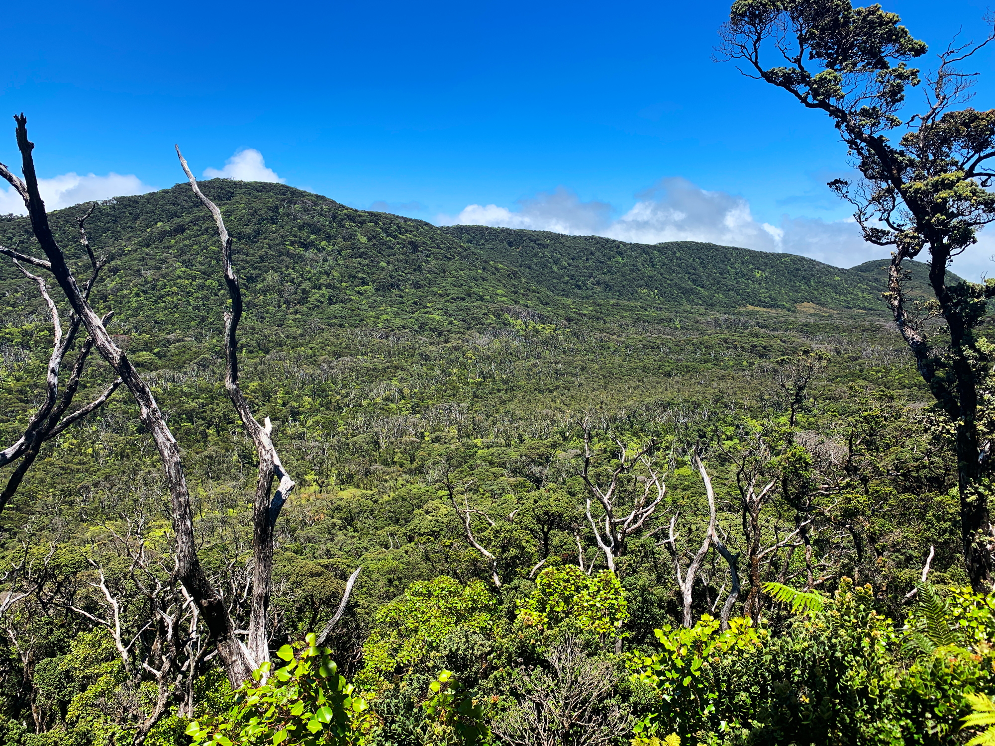
The real adventure of this Sea to Summit begins at this point. Crossing into the forest we are instantly met with no obvious choice of which way to go. Luckily I had been up to this point and the summit 3 days earlier so we followed an NNE (North-Northeast) bearing straight for the summit trying to stay on pig trails as often as possible. Our goal through this section was to keep pushing our way through the forest looking for blue plastic ribbons tied to trees which would indicate we had merged with a hunters trail.
Around 30 minutes in we came across our first blue ribbon and we would continue to follow this trail from that point on. Now the issues with the blue ribbons are they do fork off in a few different directions and they can be really hard to see and follow at times. So at one point, we were heading along a blue ribbon trail for 5 minutes before I looked down at my GPS and noticed we had taken an NNW heading for that time and were completely off course. We backtracked quickly and found the intersection we had missed and got back onto an NNE heading towards the summit.
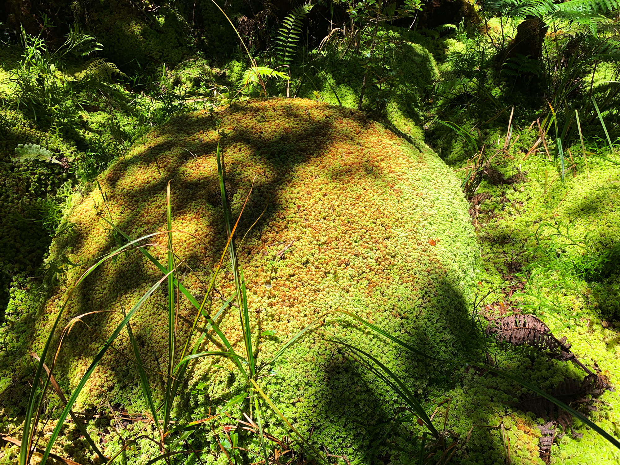
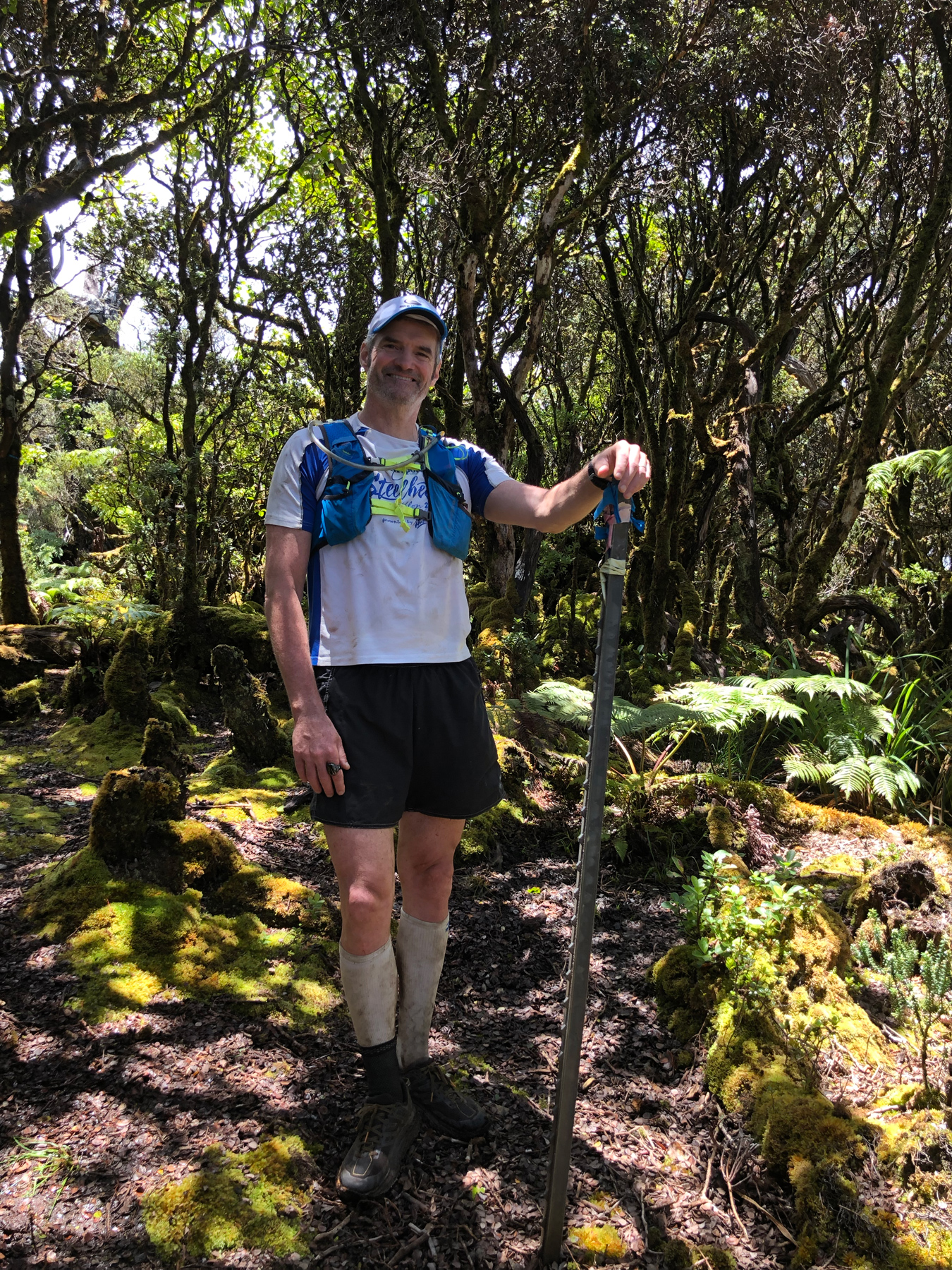
The route I chose has its merits of being quite direct for the summit. Its weak link is you have to go over a couple of extra summits and down a few valleys before you make it to the true summit so there is a good deal of elevation gain and loss to be had in the dense forest. Also, the route has some deeper mud bog areas you need to get through, Yet potentially any way you go might have these same issues or worse. Luckily the route is only 1.5 miles long and 90 minutes after crossing into the forest we were at the summit of Kohala. The 3 of us were covered in mud as we sloshed our way around the summit plateau going to the 3 possible locations I had determined could be the highest point. Once we reached the final potential summit I pushed stop on my Garmin watch and called the journey complete.
We had a few laughs on the summit, ate a couple of snacks and entertainingly needed to duct tape Al’s right shoe back together before we could leave. Finding our way back through the forest was much easier and 90 minutes later we were back at Al’s truck. We laid down in the warm grass laughing at how ridiculous yet fun it was to get to this summit. The conversation inevitably flowed towards burgers and beers and we loaded up the truck and headed down to Waimea to get our fill. Riding down the steep pasture I stared over at Mauna Kea, Mauna Loa, and Hualalai with a deep sense of content and gratitude. I’d completed my fifth and final Sea to Summit of the Big Island Volcanoes all in the last 6 months and could really savor it with my buddies. After all, these two were with me back in 2004 when we all ran up Hualalai from the Sea to the Summit the first time for my 40th Birthday Challenge. And stepping on the summit that day, exhausted yet elated, I looked around at the surrounding volcanoes and half-jokingly said: “wouldn’t it be cool if we could run from the Sea to Summit of all of them?” We all laughed at how ludicrous the idea was yet unbeknownst to all of us, the seed was planted. And 15 years later I picked that fruit. And man, was it sweet!!!
Final Thoughts
As I said in the beginning, this is a really fun Sea to Summit to do. I like how it can easily be done in a short day and really lends itself to having friends along. There is an amazing beauty to this mountain and I think I have caught the bug for a few more adventures on it. The most obvious one to me is covering the entire Hamakua Coast from Waipio to Pololu. But then there is running the Mud Lane from Waimea down into Waipio and back. Or just exploring the Kohala Ditch. Honestly, I’ve known about these adventures for years but it took me spending a few days on Kohala, deep in nature, to understand just how much more it has to offer. So my family and I will be taking a few more trips across the island in the next few months and start the next level of exploring. I hope to see you out there as well.
Kohala Sea to Summit Photo Gallery
Suggested Links:
Related posts
-
-

Hamakua Challenge Training – Pololu to Honopue – Out and Back
August 20, 2019
-

Hamakua Challenge Training – Waipi’o to Waimanu – Out And Back
August 19, 2019
Leave a reply